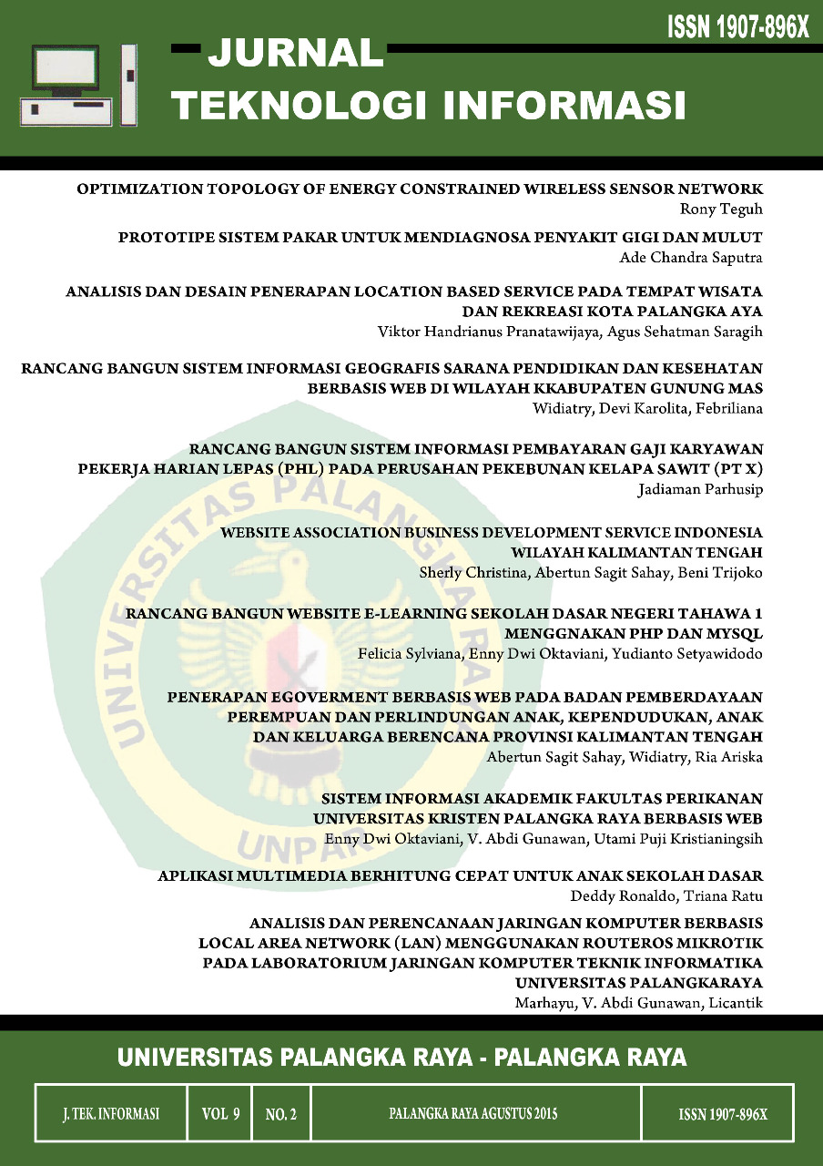
RANCANG BANGUN SISTEM INFORMASI GEOGRAFIS SARANA PENDIDIKAN DAN KESEHATAN BERBASIS WEB DI WILAYAH KABUPATEN GUNUNG MAS
DOI:
https://doi.org/10.47111/jti.v9i2.1439Keywords:
BAPPEDA, fusion table, MySQL, PHP, Education Facilities, Health Facilities, Geographic Information SystemsAbstract
GIS technology (Geographic Information Systems) is a technology that has the geographical
highly developed that has the ability to visualize spatial data. Implementing GIS technology is indispensable
in the management and use of data in terms of geographic information as a means of mapping a location.
In writing this report will discuss about how to build a Geographic Information System (GIS) for
web-based education and health facilities in the district of Gunung Mas on BAPPEDA office. GIS is made
using the method of UML-Based Web Engineering (UWE) which consists of four steps, namely
Requirements Model (Use Case Model), Content Model (Conceptual Model), Model Navigation and
Presentation Model.
With the presence of GIS is expected to help facilitate the office BAPPEDA in managing
geographic information regarding education and health facilities in the district of Gunung Mas.
Downloads
References
Achmad Solihin. 2010. “Pengenalan DBMS dan MySQL”. Jakarta : Universitas Budi Luhur.
Aliyah, J.Fie. 2009. “Sistem Informasi Geografis Berbasis Web Mengenai Penyebaran Fasislitas Pendidkan, Perumahan, dan Rumah Sakit di Kota Bekasi”,http://www.gunadarma.ac.id/library/articles/graduate/industrial-technology/2009/Artikel_50404280.pdf. diakses pada tanggal 19 Oktober 2013 pukul 09.45 WIB
Aronoff, Stan. 1989. "Geographic Information System a Management Perspective". WDL Publication, Ottawa-Canada.
Bunafit Nugroho. 2004, “Aplikasi Pemrograman Web Dinamis dengan PHP dan MySQL”, Gava Media, Yogyakarta.
Burrough, P.A. 1985. "Principles of Geographical Information Systems for Land Resources Assessmenl". Clarendon Press, Oxford.
Bafadal. Ibrahim. 2003 . “Peningkatan Profesional Guru SD”. Jakarta. Bumi Aksara.
Black, Rex. 2007. “Pragmatic Software Testing: Becoming an Effective and Efficient Test Professional”. Hoboken : Wiley Publishing Inc.
Connolly, Thomas, Carolyn Begg. 2005. “Database Systems: A Practical Approach To Design, Implementation, and Management”. (4th ed.) Addison Wesley, England
Ekadinata, Andree. 2008. “Sistem Informasi Geografis dan Penginderaan Jauh Menggunakan ILWIS Open”. Bogor:ICRAF
Ekadinata, Andree. 2008. “Sistem Informasi Geografis Untuk Pengelolaan Bentang Lahan Berbasis Sumber Daya Alam”. Bogor: World Agroforestry Centre(ICRAF)
Hakim, Lukmanul. 2013. “Proyek Website Super Wow! Dengan PHP dan jQuery”. Yogyakarta: Lokomedia
Hetzel, Bill. 2007. “The Complete Guide to Software Testing”. New York: John Wiley & Sons.
Hidayat, A.Nur. 2010. “Rancang Bangun Dan Desain Sistem Informasi Geografis Profil Daerah Kota Blitar Berbasis Web”, http://lib.uin-malang.ac.id/files/thesis/fullchapter/05550114 .pdf. diakses 22 oktober 2013 pada puku 20.51 WIB
Khafidli, M.Firgiawan. 2011. “Trik Menguasai HTML5, CSS3, PHP Aplikatif”. Yogyakarta: Lokomedia
Kang-Tsung Chang, 2002. “Introduction to Geographic Information System”, Mc.Graw-Hill.
Laudon, Kenneth C, Jane P. Laudon. 2004. “Management Information Systems: Managing the Digital Firm”. (8th ed). Pearson Prentice Hall, New Jersey
McGregor, John, D. dan Sykes, David, A. 2001. “A Practical Guide to Testing Object – Oriented Software”. New Jersey : Pearson Education
McLeod, R. & Schell, G.P. 2007. “Management Information Systems”, edisi ke-10. Pearson Prentice Hall, New Jersey
O'Brien, James A., Marakas, George M. 2006. “Management information systems”. edisi ke-7. McGraw-Hill
Peranginangin, Kasiman. 2006. “Aplikasi WEB dengan PHP dan MySQL, Yogyakarta: Andi.
Prahasta, Eddy. 2001. "Konsep-Konsep Dasar Sistem Informasi Geografts". CV. Informatika, Bandung
Prahasta, Eddy. 2005, “Sistem Informasi Geografis : Aplikasi Pemograman MapInfo”. CV. Informatika, Bandung.
Prahasta, Eddy. 2007. “Sistem Informasi Geografis: Tutorial ArcView”. Bandung: Informatika
Prahasta, Eddy. 2009. “Sistem Informasi Geografis: Konsep-Konsep Dasar (Perspektif Geodasi & Geomatika)”. Bandung: Informatika
Tian, J. 2005. “Software Quality Engineering: Testing, Quality Assurance, and. Quantifiable Improvement” . Hoboken: John Willey & Sons, Inc.
Tianur, I.Lidya. 2011. “Sistem Informasi Geografis Kost Di Sekitar Universitas Palangkaraya Berbasis Web”. Jurusan Teknik Informatika Fakultas Teknik Universitas Palangkaraya
Turban,Rainer, Potter. 2003. ”Introduction To Information Technology”. Second Edition. John Wiley & Sons, Inc, New Jersey.
Wahyuningrum. 2004. “Buku Ajaran Manajemen Fasilitas Pendidikan”. (Online) staff.uny.ac.id/sites/default/files/BAB%20Manaj%20Fasilitas.pdf, diakses pada tanggal 19 Oktober 2013 pukul 20.04.


